This blog post was originally published at Namuga Vision Connectivity’s website. It is reprinted here with the permission of Namuga Vision Connectivity.
As drone technology becomes more accessible and widespread, it’s important to get familiar with the basic terms that define how drones work and how we control them. Whether you’re a hobbyist, a content creator, or someone working in industrial drone applications, understanding these concepts will help you better navigate the drone ecosystem.
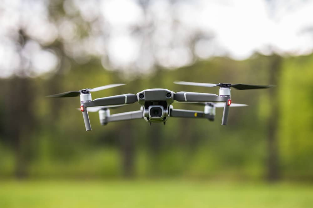
In this blog, we break down essential drone terminology into intuitive categories and explain each term —supported by easy-to-follow infographics. Let’s get started!
Control-Related Terms
This group of terms refers to how we communicate with and control a drone.
- Bind: The process of linking a drone to its controller.
- Controller: The handheld device or app used to fly and navigate the drone.
- First Person View (FPV): A perspective that lets the pilot see from the drone’s viewpoint, often via live video.
- Return to Home (RTH): A safety feature where the drone automatically returns to its take-off location when the signal is lost or battery is low.
 Control
Navigation & Positioning
Drones rely on various sensors and systems to understand their surroundings and maintain their position.
- GPS: Global Positioning System – helps the drone understand where it is on the map.
- Altitude: The height of the drone above ground level.
- Yaw: Rotation of the drone left or right around its vertical axis.
- Throttle: Controls how much power is sent to the motors, affecting height and speed.
 Flight Controls
Geospatial & Sensor Technology
These terms are common in industrial, agricultural, or mapping-related drone applications.
- Geofencing: A virtual boundary that restricts drone flight to a predefined area.
- Ground Control Station (GCS): A computer system or tablet that manages drone flight remotely.
- Inertial Navigation System (INS): A navigation method using internal motion sensors when GPS is unavailable.
- LiDAR: Light Detection and Ranging – a sensor that maps surroundings using laser pulses.
 Navigation Systems
Final Thoughts
We hope this guide gives you a clearer picture of the drone landscape. At NAMUGA, we specialize in developing advanced camera modules—including RGB, IR, 3D ToF, and LiDAR—optimized for drone and gimbal integration. Follow us for more insights and solutions in smart imaging technology.